Autocad-introduction, Civil Engineering

Assignment Help:

Autocad-Introduction

Learning to use a CAD system is similar to learning a new language. It is necessary tobegin with the basic alphabet and learn how to use it correctly and effectively through practice.

This will require learning some new concepts and skills as well as learning different vocabulary. All CAD systems create designs using basic geometric entities.

Many of the constructions used in technical designs are based upon two-dimensional planar geometry. The method and number of operations that are required to accomplish the constructions are different from one system to another.

In order to become effective in using a CAD system, we must learn to create geometric entities quickly and accurately. In learning to use a CAD system, lines and circles are the first two, and perhaps the most important two, geometric entities that one should master

the skills of creating and modifying. Straight lines and circles are used in almost all technical designs. In examining the different types of planar geometric entities, the importance of lines and circles becomes obvious. Triangles and polygons are planar figures bounded by straight lines. Ellipses and splines can be constructed by connecting arcs with different radii. As one gains some experience in creating lines and circles, similar procedures can be applied to create other geometric entities.

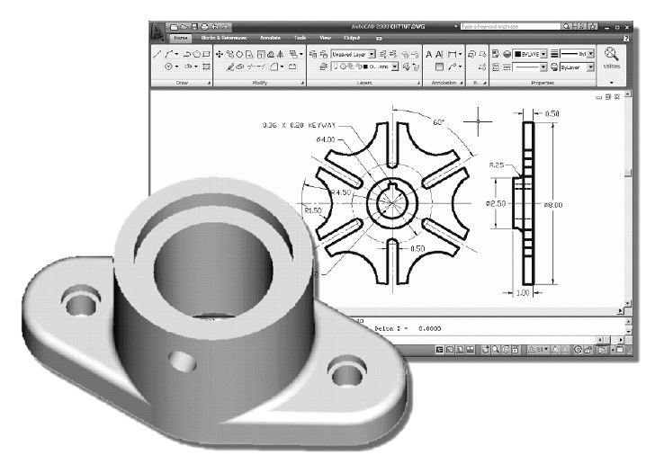
AutoCAD provides a whole range of dimensioning tools which can be used to quickly dimension any drawing without the need for measurement. Dimensioning in AutoCAD is automatic; lines, arrows and text are all taken care of by the dimension commands. AutoCAD dimensions are special blocks which can easily be edited or erased as necessary.

The correct use of AutoCADs dimension tools is the key to producing clear and concise measured drawings.AutoCAD provides lots of control over the way dimensions look. Using a system similar to text styles, dimension styles allow you to design dimensions so that they look just the way you want them to.

                         1512_autocad.png


Related Discussions:- Autocad-introduction

Reciprocal ranging, what do you mean by reciprocal ranging explain with a n...

what do you mean by reciprocal ranging explain with a neat sketch

Levelling, how to establish temporary benchmark

how to establish temporary benchmark

Trusses, Determine the support reactions for the truss shown below

Determine the support reactions for the truss shown below

Explain standard penetration test used in soil exploration, Explain the "St...

Explain the "Standard Penetration Test" used in soil exploration. List the information that can be obtained by the test when made in (a) clay, (b) sand. Comment on the correctio

Determine about the post-tensioned concrete, Determine about the post-tensi...

Determine about the post-tensioned concrete The transfer stage may take place after a long time from the casting of concrete, in the case of post-tensioned,members, enabling th

Rail tensors, A hydro stressor consists essentially of a hydraulic pump whi...

A hydro stressor consists essentially of a hydraulic pump which transmits its force through connecting vans to clamps which grips the rail. In case of mechanical tensor the force i

Define unit hydrograph - hydrology, Define Unit Hydrograph UNIT HYDROGR...

Define Unit Hydrograph UNIT HYDROGRAPH: The hydrograph developed for a drainage basin (watershed) from the runoff of a 1 in or 1 cm storm. It is the base hydrograph from which

How to set location of the bridge, Q. How to set Location of the bridge? ...

Q. How to set Location of the bridge? A bridge is normally located where the river section has minimum width so that the structure becomes shorter and economical. As far as pos

Check rail on curve, Check Rail on Curve - Check Rails are basically p...

Check Rail on Curve - Check Rails are basically provided on sharp curves to reduce the lateral wear on the outer rail. They also prevent the outer wheel flange from mounting o

State the ground water levels, Ground Water Levels The location of the...

Ground Water Levels The location of the ground water level is essential for deep excavation, water-logged areas. The existing wells in the nearby vicinity of the proposed site

Write Your Message!

Captcha
Free Assignment Quote

Assured A++ Grade

Get guaranteed satisfaction & time on delivery in every assignment order you paid with us! We ensure premium quality solution document along with free turntin report!

All rights reserved! Copyrights ©2019-2020 ExpertsMind IT Educational Pvt Ltd